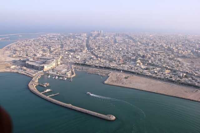
Tehran meeting raises awareness over Persian islands

TEHRAN– On Saturday, the Niavaran Cultural-Historical Complex hosted a meeting to highlight the significance and history of certain Iranian islands in the Persian Gulf.
Former Iranian diplomat Kourosh Ahmadi, and Alireza Rafati, who has authored a book on Abu Musa and the Greater and Lesser Tunbs islands, were among the lecturers at the meeting, IRNA reported.
The triple islands are strategically located close to the Strait of Hormuz, which is known as the world’s most important oil chokepoint.
Sandwiched between southwest Iran and the Arabian Peninsula, the Persian Gulf is a shallow, marginal sea of the Indian Ocean. Approximately 241,000 square kilometers make up the sea. Iran forms its northern, northeastern, and eastern borders with the country. The United Arab Emirates and a portion of Oman form its southeast and southern borders. Qatar, Bahrain, and Saudi Arabia form its southwest and western borders. Kuwait and Iraq form its northwest border.
The term Persian Gulf is sometimes used to refer not only to the Persian Gulf itself but also to its outlet, the Strait of Hormuz and the Gulf of Oman, leading to the Arabian Sea.
The Persian Gulf area was known to the region's early navigators and Portuguese, English, and Dutch traders from the early 16th century.
When the British began collecting hydrological, meteorological, and oceanographic data in the late 18th century, useful bathymetric maps and navigational guides appeared.
Moreover, Danish fishing expeditions conducted important marine biological research beginning in the 1930s, and the Japanese conducted additional fisheries research in the 1970s.
AFM
Leave a Comment